- Gratis verzending vanaf 30 euro
- Levert in Nederland, België etc.
- Meer dan 30.000 titels
- Vakkundige klantenservice
- Snelle levering
- Veilig en eenvoudig betalen

Direct contact?
Bel +31 (0)6 42428571
maandag t/m vrijdag
van 10 tot 17 uur
Wandelgids Backpacker's Britain: Northern Scotland Cicerone Guidebooks
Thirty two- and three-day treks

The Highlands of Scotland are one of Britain's great wilderness areas, particularly in the Far North. Backpackers venturing into these remote lands get a true sense of being away from it, and this book gives a superb starting point for those wanting to explore this wonderful mountain region. A total of 30 multi-day backpacking routes are described, along rugged coastlines from the Shetland Islands to the Rough Bounds of Knoydart, and across mountain ridges from the northern tip of Skye to the great trench of Glen Affric. Most routes take just 2 or 3 days to complete, but for those wanting an even wilder experience a handful of longer routes are also included.
Covers all the main mountain regions north of the Great Glen, as well as many magnificent coastal walks on the islands of Shetland, Orkney, the Outer Hebrides, Skye and Rum. Accommodation information provided, as well as details of good camp sites, bothies and hostels for use during the walk itself. This is the third volume of Cicerone"s Backpacker"s series, and follows Volume 1: Northern England and Volume 2: Wales, both also by Graham Uney.
Engelstalig
EAN: 9781852844585
Auteur(s): Graham uney
Uitgeverij: Cicerone Press
Verschijningsdatum: 2010
Meest recente editie
Engelstalig
283 pagina's

Op voorraad
Levertijd 2 dagen (Nederland)
- Vakkundige klantenservice
- Groot assortiment
- Gratis retourneren binnen 14 dagen
- Aangesloten bij WebwinkelKEUR
€ 16,99
Meer producten die interessant kunnen zijn
Topografische kaarten Noord-Schotland
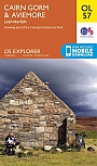
Topografische Wandelkaart OL57 van Groot-Brittannië (1:25.000) Cairn Gorm & Aviemore, Loch Morlich - Explorer Map OL 57
Wandelkaart | Ordnance Survey (OS) Groot-Brittannië
€ 18,99
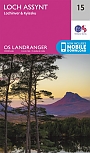
Topografische Wandelkaart 15 Loch Assynt Lochinver & Kylesku - Landranger Map
Wandelkaart & Fietskaart | Ordnance Survey (OS) Groot-Brittannië
€ 18,99
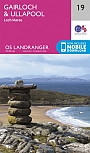
Topografische Wandelkaart 19 Gairloch / Ullapool (Loch Maree) - Landranger Map
Wandelkaart & Fietskaart | Ordnance Survey (OS) Groot-Brittannië
€ 18,99
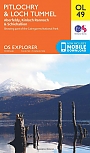
Topografische Wandelkaart OL49 van Groot-Brittannië (1:25.000) Pitlorchry & Loch Tummel / Aberfeldy - Explorer Map OL 49
Wandelkaart | Ordnance Survey (OS) Groot-Brittannië
€ 18,99
Wandelkaarten Noord-Schotland
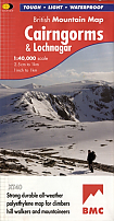
Wandelkaart Cairngorms and Lochnagar - Mountain Map | Harvey Maps
Water- en scheurvaste wandelkaart
€ 28,99
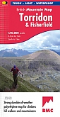
Wandelkaart Torridon & Fisherfield - Mountain Map | Harvey Maps
Water- en scheurvaste wandelkaart
€ 28,99