- Gratis verzending vanaf 30 euro
- Levert in Nederland, België etc.
- Meer dan 30.000 titels
- Vakkundige klantenservice
- Snelle levering
- Veilig en eenvoudig betalen

Direct contact?
Bel +31 (0)6 42428571
maandag t/m vrijdag
van 10 tot 17 uur
Wegenkaart - landkaart 1 Roadmap Northern Scotland Orkey & Shetland | Ordnance Survey
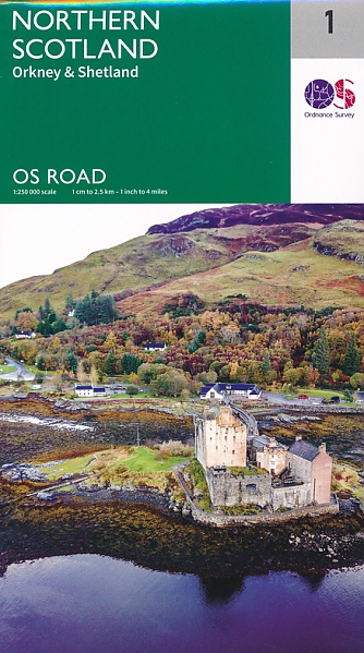
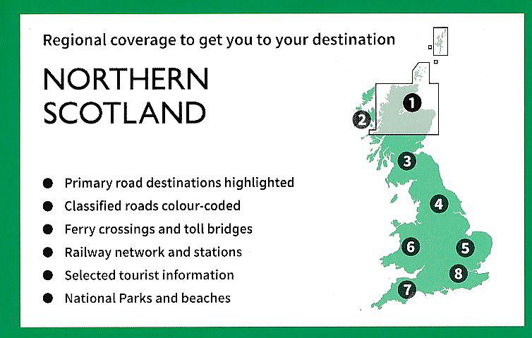
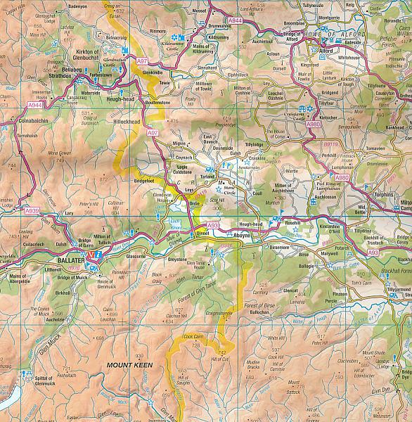
Schitterende wegenkaart van Ordnance Survey, de Britse topografische dienst. De kaart staat boordevol praktische informatie, aangeduid met pictogrammen. Campings, ook de kleinere, jeugdherbergen, veerdiensten, vuurtorens, musea, natuurreservaten staan duidelijk vermeld. Het wegniveau overzichtelijk, wegnummers zijn aangegeven. The OS Roadmaps series are single sided folded maps, the 8 maps provide GB 1: 250 000 coverage to enable the end user to navigate and plan their road journey. The maps include all motorways, primary routes and A roads plus detailed tourist information including National Parks, Country Parks and World Heritage sites and a useful town and city gazetteer. The eight maps in the series are Northern Scotland, Orkney & Shetland, Western Scotland and the Western Isles, Southern Scotland and Northumberland, Northern England, East Midlands and East Anglia, Wales/Cymru and West Midlands, South West England and South East England.
Schaal: 1:250.000
Engelstalig
EAN: 9780319263730
Uitgeverij: Ordnance Survey (UK)
Serie: Ordnance Survey Road Maps
Meest recente editie
Engelstalig

Op voorraad
Vóór 17 uur besteld, morgen in huis (Nederland)
- Vakkundige klantenservice
- Groot assortiment
- Gratis retourneren binnen 14 dagen
- Aangesloten bij WebwinkelKEUR
€ 11,99
Verder in deze serie

- Wegenkaart - landkaart 2 Roadmap Western Scotland & the Western Isles | Ordnance Survey
- Wegenkaart - landkaart 3 Roadmap Southern Scotland & Northumberland | Ordnance Survey
- Wegenkaart - landkaart 4 Roadmap Northern England | Ordnance Survey
- Wegenkaart - landkaart 5 Roadmap East Midlands & East Anglia including London | Ordnance Survey
- Wegenkaart - landkaart 6 Roadmap Wales & West Midlands | Ordnance Survey
- Wegenkaart - landkaart 7 Roadmap South West England & South Wales | Ordnance Survey
- Wegenkaart - landkaart 8 Roadmap South East England including London | Ordnance Survey
Meer producten die interessant kunnen zijn
Topografische kaarten Noord-Schotland
Topografische Wandelkaart OL57 van Groot-Brittannië (1:25.000) Cairn Gorm & Aviemore, Loch Morlich - Explorer Map OL 57
Wandelkaart | Ordnance Survey (OS) Groot-Brittannië
€ 18,99
Topografische Wandelkaart 15 Loch Assynt Lochinver & Kylesku - Landranger Map
Wandelkaart & Fietskaart | Ordnance Survey (OS) Groot-Brittannië
€ 18,99
Topografische Wandelkaart 19 Gairloch / Ullapool (Loch Maree) - Landranger Map
Wandelkaart & Fietskaart | Ordnance Survey (OS) Groot-Brittannië
€ 18,99
Topografische Wandelkaart OL49 van Groot-Brittannië (1:25.000) Pitlorchry & Loch Tummel / Aberfeldy - Explorer Map OL 49
Wandelkaart | Ordnance Survey (OS) Groot-Brittannië
€ 18,99
Wandelgidsen Noord-Schotland

Wandelgids Walking in Torridon Fisherfield Fannichs and An Teallach Cicerone Guidebooks
Including the ridges of Beinn Alligin, Liathach and Beinn Eighe
€ 21,99
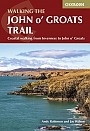
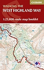
Wandelgids Walking the John o' Groats Trail | Cicerone
Coastal walking from Inverness to John o' Groats
€ 21,99

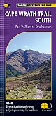
Wandelgids Cape Wrath Trail Cicerone Guidebooks
through the Scottish Highlands from Fort William to Cape Wrath
€ 21,99
Wandelkaarten Noord-Schotland
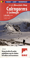
Wandelkaart Cairngorms and Lochnagar - Mountain Map | Harvey Maps
Water- en scheurvaste wandelkaart
€ 28,99