- Gratis verzending vanaf 30 euro
- Levert in Nederland, België etc.
- Meer dan 30.000 titels
- Vakkundige klantenservice
- Snelle levering
- Veilig en eenvoudig betalen

Direct contact?
Bel +31 (0)6 42428571
maandag t/m vrijdag
van 10 tot 17 uur
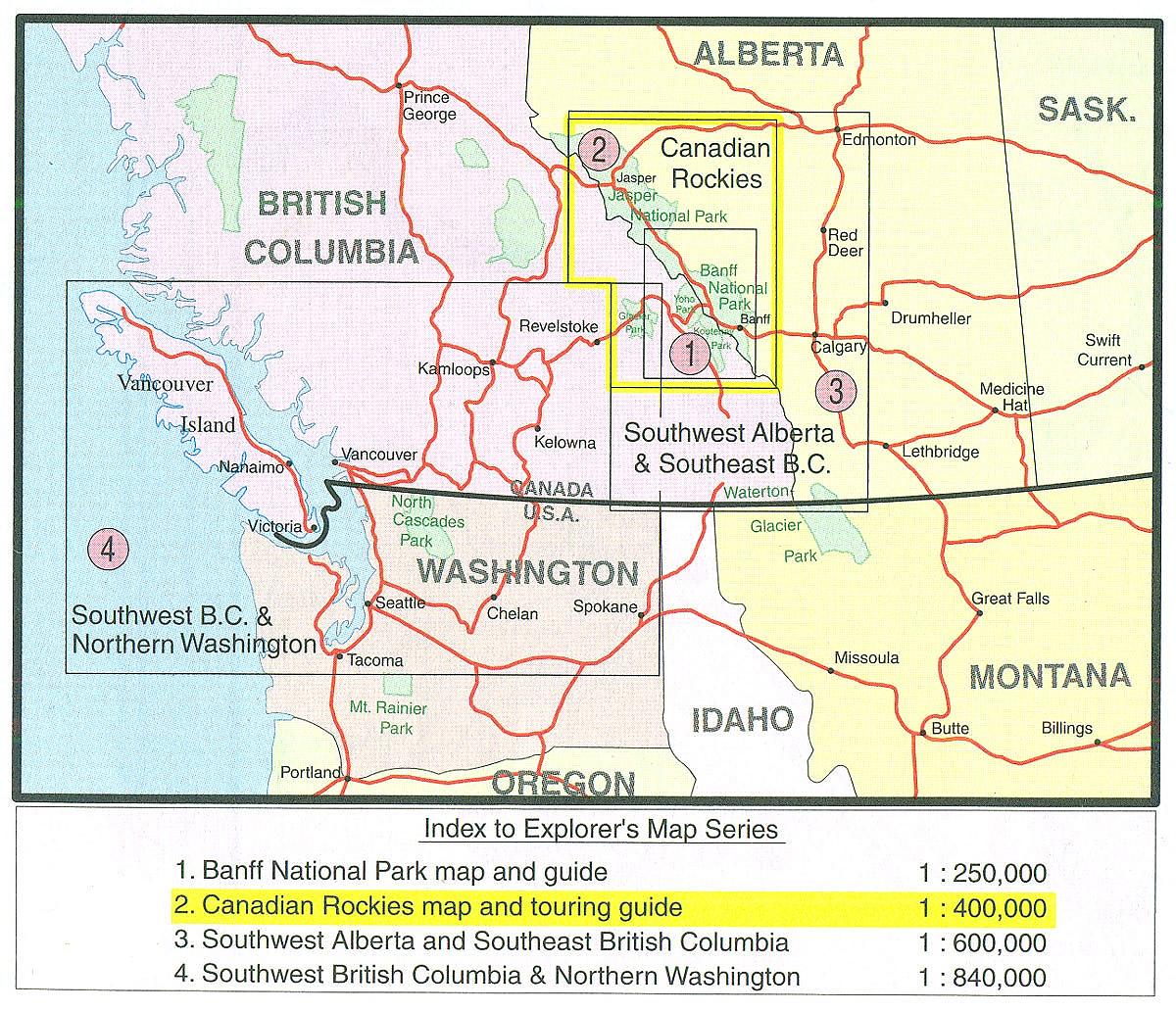
Wegenkaart - Landkaart 4 British Columbia Southwest & Northern Washington | Gem Trek Publishing
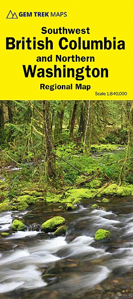
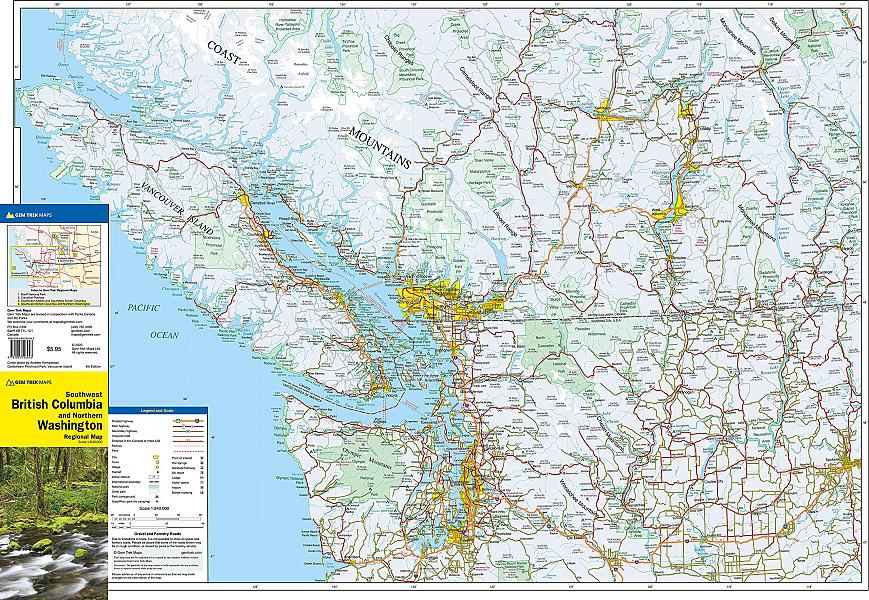
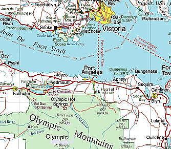
Driving Map of southwestern British Columbia and northern Washington State (with Seattle) published by Gem Trek and including Vancouver Island as a whole. Indication of national or provincial parks and reserves, sea links, camping panning both the U.S.A. and Canada, this map takes in all the popular vacation destinations in the Pacific Northwest, including Seattle, the Olympic Peninsula, Vancouver and the Lower Mainland, plus all of Vancouver Island. Coverage extends east to cover Spokane, the Okanagan, and, in Canada, the Shuswap area and Revelstoke. With secondary roads, parks, campgrounds and ski areas shown, both visitors and locals find it ideal for getting around.
Schaal: 1:840.000
Engelstalig
EAN: 9781895526943
Uitgeverij: Gem Trek Publishing (Canada)
Serie: Gem Trek Wegenkaart
Meest recente editie
Engelstalig
Op voorraad
Vóór 17 uur besteld, morgen in huis (Nederland)
- Vakkundige klantenservice
- Groot assortiment
- Gratis retourneren binnen 14 dagen
- Aangesloten bij WebwinkelKEUR
€ 9,99
Verder in deze serie
Meer producten die interessant kunnen zijn
Wandelkaarten British-Columbia
Reisgidsen British-Columbia
Wandelgidsen British-Columbia
Wildlife-gidsen British-Columbia
Topografische kaarten British-Columbia
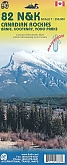
Topografische Wandelkaart Canadian Rockies Banff, Kootenay, Yoho Park 82J/K/N/O - ITMB Map
Water- en scheurvaste wandelkaart
€ 13,50