- Gratis verzending vanaf 30 euro
- Levert in Nederland, België etc.
- Meer dan 30.000 titels
- Vakkundige klantenservice
- Snelle levering
- Veilig en eenvoudig betalen

Direct contact?
Bel +31 (0)6 42428571
maandag t/m vrijdag
van 10 tot 17 uur
Klimgids Scrambles in the Lake District volume 2 North - Cicerone Guidebooks
110 Scrambles
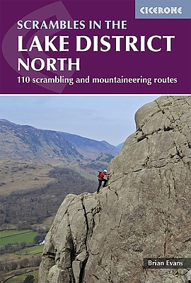
The second of a two-volume set of guides to scrambles in the Lake District. The set are based on 'Scrambles in the Lake District' and 'More Scrambles in the Lake District', two of the original scrambling guides to the Lake District by one of Britain's best-known climbers. Continually reprinted for 20 years these guides have now been fully updated and merged into two definitive guides, for southern and northern Lakes. (For details of 'Scrambles in the Lake District South', see below.) The Lake District's rich mix of rocks, gills and crags offers the scrambler a complex variety of routes, often well removed from the beaten track. Scrambling - ascending rock that is not usually difficult or steep enough to warrant the term 'rock climbing' - means you often hardly touch a path and rarely see other people at close quarters. This is a way of getting back to a wilder Lakeland and enjoying the freedom of rough mountain country. Â Covers Wasdale, Ennerdale and Buttermere, Borrowdale, Thirlmere, Patterdale, Mardale and Swindale. 110 scramble routes graded 1 to 4. Advice on how to approach scrambling safely and with confidence. Overview maps as well as sketch diagrams of the crags and routes. Introductions to each area mentioned, indicating the type of rock and any recommendations. Information on the approach, character, grade and route of each scramble. Â Scrambles vol 1 (Southern Lakes) covers Langdale, Coniston, Duddon, Eskdale, Longsleddale and Kentmere.
Engelstalig
EAN: 9781852848323
Auteur(s): Brain evans
Uitgeverij: Cicerone Press
Verschijningsdatum: 2016
Meest recente editie
Engelstalig


Op voorraad
Overmorgen in huis (Nederland)
- Vakkundige klantenservice
- Groot assortiment
- Gratis retourneren binnen 14 dagen
- Aangesloten bij WebwinkelKEUR
€ 20,99
Meer producten die interessant kunnen zijn
Wandelgidsen Lake District / Yorkshire Dales
Wandelgids 15 Yorkshire Dales Pathfinder Guide
Pathfinder Guide 15 | Met Ordanance Survey kaarten
€ 17,99
Wandelgids The Cumbria Way | Cicerone Guide
Ulverston to Carlisle main route with mountain alternatives
€ 18,99
Reisgidsen Lake District / Yorkshire Dales

Topografische kaarten Lake District / Yorkshire Dales
Topografische Wandelkaart OL2 van Groot-Brittannië (1:25.000) Yorkshire Dales - Southern & Western areas - Explorer Map OL 2
Wandelkaart | Ordnance Survey (OS) Groot-Brittannië
€ 18,99
Topografische Wandelkaart OL19 van Groot-Brittannië (1:25.000) Howgill Fells / Upper Eden Valley - Explorer Map OL 19
Wandelkaart | Ordnance Survey (OS) Groot-Brittannië
€ 18,99
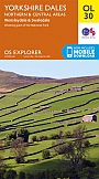
Topografische Wandelkaart OL30 van Groot-Brittannië (1:25.000) Yorkshire Dales - Northern & Central areas - Explorer Map OL 30
Wandelkaart | Ordnance Survey (OS) Groot-Brittannië
€ 18,99
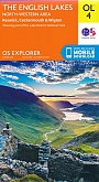
Topografische Wandelkaart OL4 van Groot-Brittannië (1:25.000) English Lakes - North Western area - Explorer Map OL 4
Wandelkaart | Ordnance Survey (OS) Groot-Brittannië
€ 18,99
Wandelkaarten Lake District / Yorkshire Dales