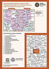
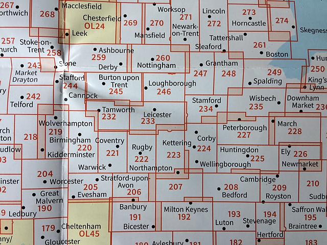
Topografische Wandelkaart OL24 van Groot-Brittannië (1:25.000) Peak District - White Peak area - Explorer Map OL 24
Wandelkaart | Ordnance Survey (OS) Groot-Brittannië
Deze gedetailleerde en informatieve topografische kaart (stafkaart, schaal 1:25.000) van Groot-Brittannië bevat alle topografische elementen van het landschap en geeft daarmee een nauwkeurig beeld van het terrein. Daarnaast heeft Ordnance Survey (OS) ook toeristische informatie op de meeste kaart verwerkt, zoals de aanduiding voor campings en ingetekende wandelpaden . Deze kaart is ideaal voor wandelaars of fietsers, maar ook voor de scouting of sportverenigingen die activiteiten in Groot-Brittannië gaan uitvoeren. De kaarten zijn voorzien van een GPS aanduiding en een duidelijke legenda. Whether you"re a seasoned outdoor expert or a leisurely sightseer, with the OS Explorer OL24 map of the White Peaks to hand, you"ll be on the right track no matter where your adventure takes you. Trusted by outdoor enthusiasts from all walks of life, this easy-to-follow fold-up map is the perfect companion for all your excursions in the White Peaks area of the Peak District, from days out, to week-long hikes. Taking its name from its limestone landscape, this part of the Peaks is full of fascinating caves and dry river valleys to explore. If walking"s what you"ve set out to do, why not tackle the 25-mile long White Peaks Challenge? Using the pretty town of Stoney Middleton as a base, serious climbers can take on "Our Father", a challenging climb up Windy Buttress. Alternatively, head underground to explore over 3 000 metres of caves at the limestone gorge of Middleton Dale. There are bustling towns in the white peak area of the Peak District including Buxton and Matlock, or you could treat yourself to one of Bakewell's legendary tarts. Whether you"re passionate about cycling and sightseeing, or rambling and riding, you"ll get the most out of your days out in the White Peaks with the OS Explorer OL24 map to guide you. You"ll find every fine detail covered, from rivers to rights of way, as well as a wealth of information you won"t find on other maps. Highlights include: Castle rock, Middleton Dale, Derbyshire Dales, The Roaches, Buxton, Bakewell, Matlock, Dovedale, Chatsworth House, limestone caves, and the thermal springs at Middleton Stoney.
Schaal: 1:25.000
EAN: 9780319263846
Uitgeverij: Ordnance Survey (UK)
Serie: Explorer Map Midden-Engeland
Meest recente editie
EAN: 9780319263846
Uitgeverij: Ordnance Survey (UK)
direct leverbaar
18,99
Verder in deze serie
Meer producten die interessant kunnen zijn
Topografische Wandelkaart 139 Birmingham / Wolverhampton - Landranger Map
Wandelkaart & Fietskaart | Ordnance Survey (OS) Groot-Brittannië
€ 18,99
Topografische Wandelkaart 150 Worcester / The Malverns Evesham & Tewkesbury - Landranger Map
Wandelkaart & Fietskaart | Ordnance Survey (OS) Groot-Brittannië
€ 18,99
Wandelgids 25 Thames Valley and Chilterns Pathfinder Guide
Pathfinder Guide 25 | Met Ordanance Survey kaarten
€ 17,99
Wandelgids 252 Engeland Mitte | Rother Bergverlag
Im herzen von den Cotswols zum Peak District 52 wandelingen
€ 14,90


