- Gratis verzending vanaf 30 euro
- Levert in Nederland, België etc.
- Meer dan 30.000 titels
- Vakkundige klantenservice
- Snelle levering
- Veilig en eenvoudig betalen

Direct contact?
Bel +31 (0)6 42428571
maandag t/m vrijdag
van 10 tot 17 uur
Wandelkaart North Downs Way - National Trail Maps | Harvey Maps
Water- en scheurvaste wandelkaart

De Harvey Map is de wandelkaart voor het lange afstand wandelpad in het Groot-Brittannië. Duidelijke topografische wandelkaarten met praktische informatie van de route zoals overnachtingsmogelijkheden, eetgelegenheden en bezienswaardigheden. Deze wandelkaart is scheur- en watervast. Met GPS compatible (UTM-Grid). Compact and light - the map itself weighs just 60gms - a third of the weight of a laminated map, and much less bulky. And you can fold or refold it time and again, or stuff it in your back pocket and it won't fall to pieces.
Revised edition and format
Shows the entire route on one XT40 map sheet.
The Way is 246km (156 miles). This map covers the whole route from Farnham in the west to Dover on the south east coast.
Information on finding accommodation, camping, food. Directions to the start and end points. Shows facilities available and includes tips on weather and clothing.
Schaal: 1:40.000
Engelstalig

Op voorraad
Overmorgen in huis (Nederland)
- Vakkundige klantenservice
- Groot assortiment
- Gratis retourneren binnen 14 dagen
- Aangesloten bij WebwinkelKEUR
€ 25,99
Meer producten die interessant kunnen zijn

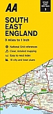
Wegenkaart - Landkaart 504 Zuid-Oost Engeland Kent Sussex - Michelin Regional
South East England, the Midlands, East Anglia 504
€ 11,50
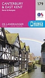
Topografische Wandelkaart 179 Canterbury / East Kent Dover Margate - Landranger Map
Wandelkaart & Fietskaart | Ordnance Survey (OS) Groot-Brittannië
€ 18,99
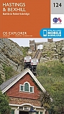
Topografische Wandelkaart 124 Hastings / Bexhill - Explorer Map
Wandelkaart & Fietskaart | Ordnance Survey (OS) Groot-Brittannië
€ 18,99
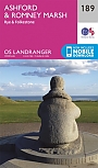
Topografische Wandelkaart 189 Ashford / Romney Marsh - Landranger Map
Wandelkaart & Fietskaart | Ordnance Survey (OS) Groot-Brittannië
€ 18,99
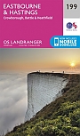
Topografische Wandelkaart 199 Eastbourne / Hastings - Landranger Map
Wandelkaart & Fietskaart | Ordnance Survey (OS) Groot-Brittannië
€ 18,99