- Gratis verzending vanaf 30 euro
- Levert in Nederland, België etc.
- Meer dan 30.000 titels
- Vakkundige klantenservice
- Snelle levering
- Veilig en eenvoudig betalen

Direct contact?
Bel +31 (0)6 42428571
maandag t/m vrijdag
van 10 tot 17 uur
Wandelkaart Cotswold Way - National Trail Maps | Harvey Maps
Water- en scheurvaste wandelkaart
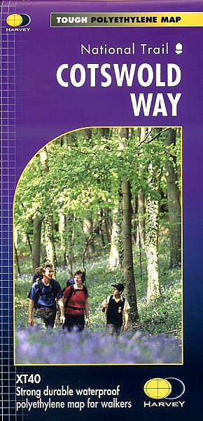
De Harvey Map is de wandelkaart voor het lange afstand wandelpad in het Groot-Brittannië. Duidelijke topografische wandelkaarten met praktische informatie van de route zoals overnachtingsmogelijkheden, eetgelegenheden en bezienswaardigheden. Deze wandelkaart is scheur- en watervast. Met GPS compatible (UTM-Grid). A leap forward in technical excellence: Tough, durable and 100% waterproof - virtually indestructible in normal use. Compact and light - the map itself weighs just 60gms - a third of the weight of a bulky laminated map. You can fold or refold it time and again, or stuff it in your back pocket and it won't fall to pieces.
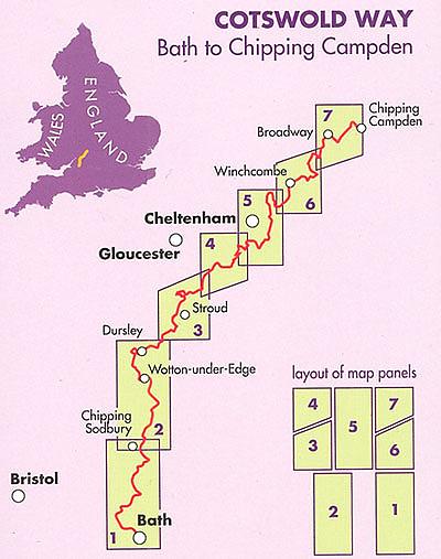
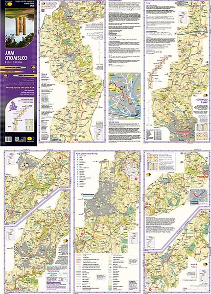
Shows the entire route on one sheet.
166km (103miles) of winding trail through the Cotswolds from Chipping Campden to Bath, passing through Broadway, Winchcombe, Stroud, Wooton-under-Edge and Chipping Sodbury.
Information on finding accommodation, camping, food. Directions to the start. Also Ranger Service contact numbers and enlargements of towns/villages showing facilities available and tips on weather and clothing
Schaal: 1:40.000
Engelstalig

Op voorraad
Levertijd 3 dagen (Nederland)
- Vakkundige klantenservice
- Groot assortiment
- Gratis retourneren binnen 14 dagen
- Aangesloten bij WebwinkelKEUR
€ 25,99
Meer producten die interessant kunnen zijn


Reisgids Slow Cotswolds Bradt Travel Guide
Including Bath, Stratford-Upon-Avon & Oxford
€ 17,99
Tijdelijk niet leverbaar


Topografische Wandelkaart OL45 van Groot-Brittannië (1:25.000) The Cotswolds - Explorer Map OL 45
Wandelkaart | Ordnance Survey (OS) Groot-Brittannië
€ 18,99