- Gratis verzending vanaf 30 euro
- Levert in Nederland, België etc.
- Meer dan 30.000 titels
- Vakkundige klantenservice
- Snelle levering
- Veilig en eenvoudig betalen

Direct contact?
Bel +31 (0)6 42428571
maandag t/m vrijdag
van 10 tot 17 uur
Wandelgids Tour of Mont Blanc Cicerone Guidebooks
Complete two-way trekking guide
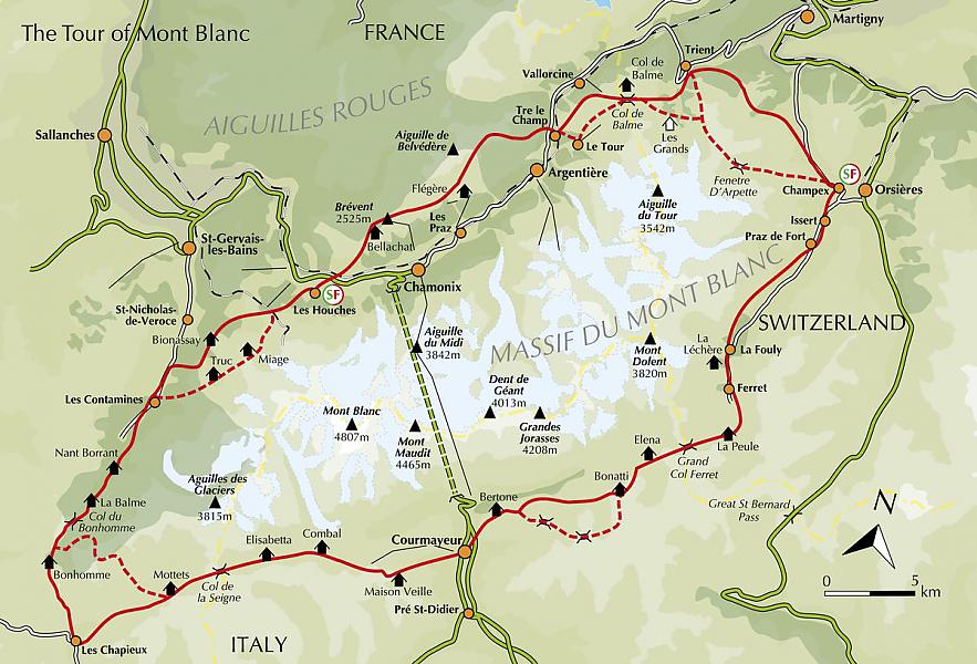
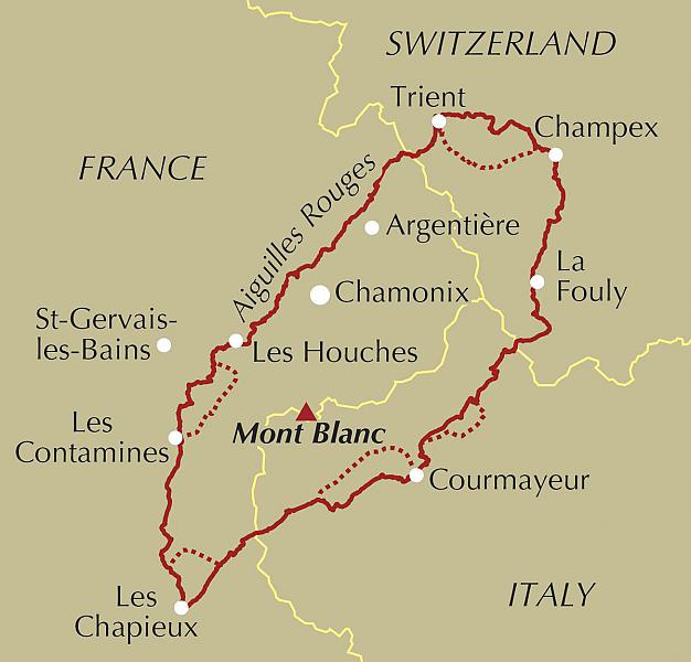
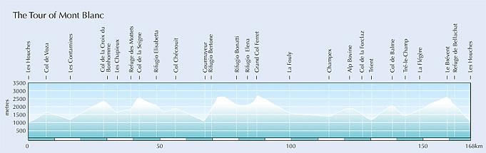
The essential guidebook to the 105-mile Tour of Mont Blanc trek in the Alps. One of the best of the world's classic walks, which circumnavigates the Mont Blanc massif in about eleven days through France, Switzerland and Italy. The walk has all the excitement of the high mountains yet none of the worry of altitude sickness. It crosses numerous cols with stunning views of spectacular snow and rock peaks and accommodation along the route is plentiful. The 'official' Tour du Mont Blanc follows an established route around the main block of mountains containing not only Mont Blanc but its principal allied summits such as Verte, Chardonnet, Gouter, Géant, Jorasses, d'Argentière, Dolent and numerous others. The author describes the tour both in the traditional 'anti-clockwise' direction and the 'clockwise' direction. There are several alternative routes that subsequently link, and these are also described. The routes have been created to give the very best perspective and appreciation of the whole region. At every opportunity recommendations are made that will bring the walker into closer contact with the area. This guide is in full colour, with points of interest, accommodation details and overview maps for every stage, along with details of the natural and cultural history of the region. There are also routes around Courmayeur and Arnuva and to Lac Blanc as well as essential practical information on travel to and around the Mont Blanc Massif, mountain safety, languages, currency and more. The result is an ideal companion to take on one of the world's greatest mountain adventures. Seasons
early July to mid-September is best for weather and facilities; busiest mid-July to end August Centres
Chamonix, Courmayeur, Champex, Les Contamines, Les Houches, La Fouly Difficulty
suitable for fit hikers; no technical mountaineering skills needed; waymarkings; 170km (105 miles); total height gain 10,000m Must See
views of the Mont Blanc range and its glaciers; mountain huts; views from Le Brévent; Mont Blanc tramway; Chamonix
Engelstalig
EAN: 9781786310620
Auteur(s): Kev reynolds
Uitgeverij: Cicerone Press
Verschijningsdatum: 2020
Meest recente editie
Engelstalig
233 pagina's
(Tijdelijk) niet leverbaar
- Vakkundige klantenservice
- Groot assortiment
- Gratis retourneren binnen 14 dagen
- Aangesloten bij WebwinkelKEUR
Meer producten die interessant kunnen zijn
Wandelkaarten Mont-Blanc / Haute Savoie
Wandelkaart 01 Léman - Randonnee et Patrimoine | Libris Didier Richard
Rives du Leman - Genevois - Pays de Gex - Chablais - Faucigny - Giffre
€ 16,50
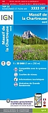
Wandelkaart 3333OTR - Massif de la Chartreuse Nord Geplastificeerd | IGN
Carte de Randonnee | Wandelkaart | Institut Geographique National (IGN) Frankrijk
€ 21,50
Topografische kaarten Mont-Blanc / Haute Savoie
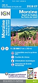
Topografische Wandelkaart van Frankrijk 3528ET - Morzine / Massif du Chablais / Portes du Soleil ign
Carte de Randonnee | Wandelkaart | Institut Geographique National (IGN) Frankrijk
€ 16,50
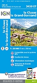
Topografische Wandelkaart van Frankrijk 3430ET - La Clusaz / Grand-Bornand
Carte de Randonnee | Wandelkaart | Institut Geographique National (IGN) Frankrijk
€ 16,50
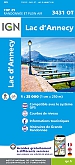
Topografische Wandelkaart van Frankrijk 3431OT - Lac d'Annecy
Carte de Randonnee | Wandelkaart | Institut Geographique National (IGN) Frankrijk
€ 16,50
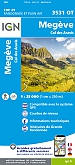
Topografische Wandelkaart van Frankrijk 3531OT - Megeve / Col des Aravis Praz-sur-Arly Ugine Flumet Notre-Dame-de-Bellec
Carte de Randonnee | Wandelkaart | Institut Geographique National (IGN) Frankrijk
€ 16,50
Fietskaarten Mont-Blanc / Haute Savoie
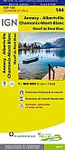
Fietskaart 144 Annecy / Albertville / Chamonix-Mont-Blanc - IGN Top 100 - Tourisme et Velo
Water- en scheurvaste fietskaart
€ 10,50
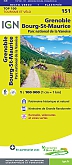
Fietskaart 151 Grenoble Chambery Parc National de la Vanoise - IGN Top 100 - Tourisme et Velo
Water- en scheurvaste fietskaart
€ 10,50
Wegenkaarten Mont-Blanc / Haute Savoie
Reliëfkaarten Mont-Blanc / Haute Savoie
