- Gratis verzending vanaf 30 euro
- Levert in Nederland, België etc.
- Meer dan 30.000 titels
- Vakkundige klantenservice
- Snelle levering
- Veilig en eenvoudig betalen

Direct contact?
Bel +31 (0)6 42428571
maandag t/m vrijdag
van 10 tot 17 uur
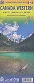
Wegenatlas Canada West & Noord - ITMB Map
A5 Formaat geniet
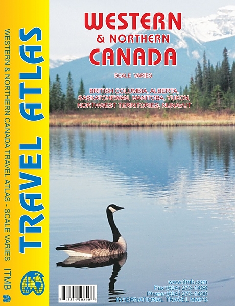
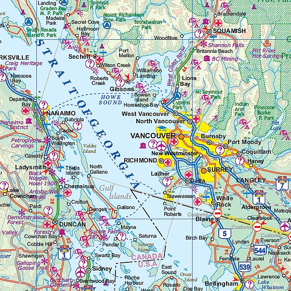
De ITMB wegatlassen kenmerken zich door een kleurrijke en volle cartografische weergave. De wegenatlas bevat degelijke kaarten, zeker voor gebieden waarvoor kaarten lastig te krijgen zijn, met aanduidingen van onder andere nationale parken en natuurgebieden, vliegvelden, toeristische bezienswaardigheden en een goede aanduiding van het wegennet. Daarnaast bevat de wegenatlas ook stadsplattegronden van de hoofdstad en andere belangrijke centra. Bevat voor sommige landen ook aanduidingen in de orginele taal. A5 Formaat geniet. This project has taken a lot of time and effort to complete. We published the Eastern Canada Atlas two years ago to replace the licensed artwork that was no longer available. Then Western Canada sold out more quickly than we expected and it has taken Lan and her team more time than expected to prepare this artwork. In part, this is because the new atlas also includes all of Arctic Canada (Yukon, NWT, and Nunavut) as well as BC, Alberta, Saskatchewan, and Manitoba. This is the thickest atlas we've ever produced, at 160 pages. Each province (of which there are 4) and Territory (of which there are 3) has been shown to best advantage; for example, Saskatchewan fills 22 pages at 1:125,000 scale, plus four additional pages for urban insets. BC takes 19 pages, plus five more for insets. The artwork covers a vast expanse of land, showing roads, rail lines, camping spots, rivers, lakes, towns, and touristic attractions. This book encompasses seven ITMB maps, which would cost the buyer $80 to duplicate. It is also our first bound book, as opposed to a stapled book. As such, it can be displayed spine outwards, which appeals to bookstores. Combined with its sister volume, the second largest country on earth is now comprehensively portrayed Legend Includes: Roads by classification, Points of interest, Hotels, Museums, Ski, Golf course, Picnic Areas, Campgrounds, Fishing, Gas Stations, Waterfalls, Hotsprings, Campground RV, Hospitals, Historical Sites, Tourist information, Mountain Peaks, Churches, Monuments, Notable Buildings, Restaurants, Shopping Centres, Libraries, Schools, Embassies, Banks, Cinema, Theatres, Railway Stations, Bus Terminal, Police Station, Fire Station, Universities, Post Offices, Swimming Pools, Ferry, Parking, Stadium and much more
Schaal: 1.1.250.000
Engelstalig
EAN: 9781553410898
Uitgeverij: ITMB (International Tavel Maps & Books)
Meest recente editie
Engelstalig
157 pagina's
Op voorraad
Vóór 17 uur op werkdagen besteld, morgen in huis (Nederland)
- Vakkundige klantenservice
- Groot assortiment
- Gratis retourneren binnen 14 dagen
- Aangesloten bij WebwinkelKEUR
€ 16,50
Meer producten die interessant kunnen zijn
Wegenkaarten Overig West-Canada
Reisgidsen Overig West-Canada