Wandelgids 03 Lake District Pathfinder Guide (Short Walks)
20 korte wandelingen 3 tot 9km.
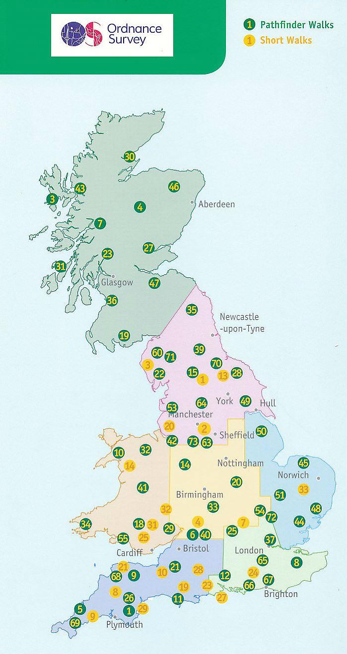
Deze Pathfinder Guide is een goed uitgevoerde gids met verschillende wandelingen in Groot-Britannie. De gids bevat naast goede topografische kaarten van de Britse topografische dienst (Ordanance Survey) ook beschrijvingen van het landschap, de cultuur en/of de flora en fauna. Verder is de gids voorzien van praktische informatie zoals startpunten, verwachte wandeltijd, restaurants en cafes voor onderweg. Short Walks Lake District covering parts of Keswick, Patterdale and Hawkshead. This selection offers interest and regional variety in the Lake District, providing the best short walks in the area. Covering walks through the whole of the Lake District both popular and little know scenic routes including Windermere and Braithwaite. - See walk locations by Looking Inside Inside: -20 circular walks up to 5 miles - Clear, large scale Ordnance Survey route maps - GPS reference for all Lake District waypoints - Where to park, good pubs and places of interest en route - All routes have been fully researched and written by expert outdoor writers - Beautiful photography of scenes from the walks Ideal for families, or for those without the time for longer distances, Short Walks guides contain 20 walks graded by distance, duration and difficulty. Each route includes points of interest as well as fun observation questions for children.
Engelstalig
EAN: 9780319090336
Uitgeverij: Ordnance Survey Books
Serie: Pathfinder
Verschijningsdatum: 2016
Meest recente editie
Engelstalig
(Tijdelijk) niet leverbaar
- Vakkundige klantenservice
- Groot assortiment
- Gratis retourneren binnen 14 dagen
- Aangesloten bij WebwinkelKEUR
Verder in deze serie
Meer producten die interessant kunnen zijn
Reisgidsen Lake District / Yorkshire Dales
Wandelkaarten Lake District / Yorkshire Dales
Topografische kaarten Lake District / Yorkshire Dales
Topografische Wandelkaart OL2 van Groot-Brittannië (1:25.000) Yorkshire Dales - Southern & Western areas - Explorer Map OL 2
Wandelkaart | Ordnance Survey (OS) Groot-Brittannië
€ 18,99
Topografische Wandelkaart OL19 van Groot-Brittannië (1:25.000) Howgill Fells / Upper Eden Valley - Explorer Map OL 19
Wandelkaart | Ordnance Survey (OS) Groot-Brittannië
€ 18,99
Topografische Wandelkaart OL30 van Groot-Brittannië (1:25.000) Yorkshire Dales - Northern & Central areas - Explorer Map OL 30
Wandelkaart | Ordnance Survey (OS) Groot-Brittannië
€ 18,99
Topografische Wandelkaart OL4 van Groot-Brittannië (1:25.000) English Lakes - North Western area - Explorer Map OL 4
Wandelkaart | Ordnance Survey (OS) Groot-Brittannië
€ 18,99


