- Gratis verzending vanaf 30 euro
- Levert in Nederland, België etc.
- Meer dan 30.000 titels
- Vakkundige klantenservice
- Snelle levering
- Veilig en eenvoudig betalen

Direct contact?
Bel +31 (0)6 42428571
maandag t/m vrijdag
van 10 tot 17 uur
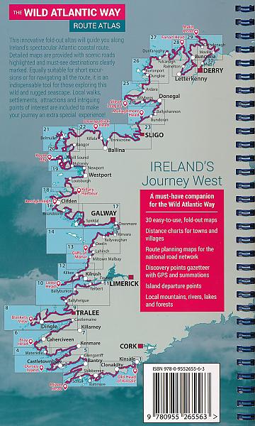
Wegenatlas Atlas The Wild Atlantic Way Ierland | Xploreit Maps
Met Spiraalbinding
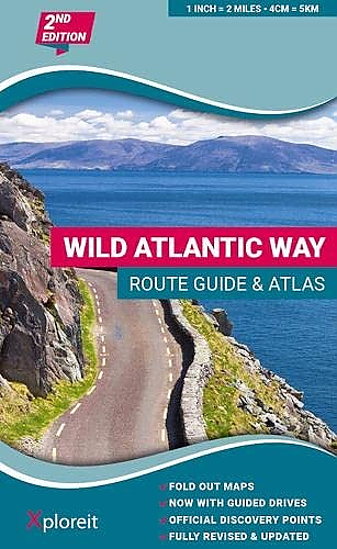
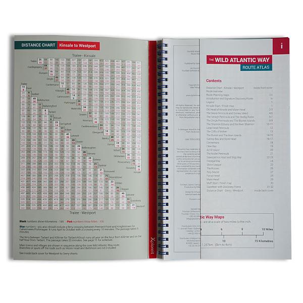
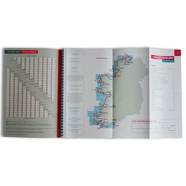
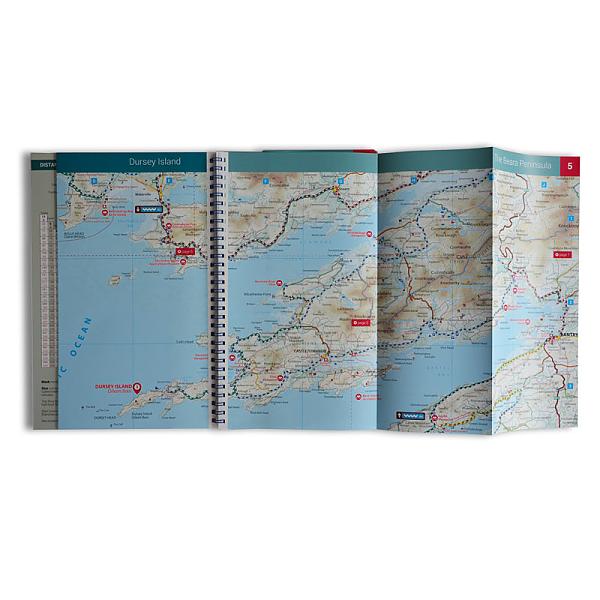
The Wild Atlantic Way is the world’s longest defined coastal route. It includes Ireland’s most northerly point, Malin Head, in Donegal and it’s most southerly point, Mizen Head in Cork. All along the way you will find a myriad of spectacular discovery points with incredible scenic views. This atlas splits up the route into 30 foldout maps that are detailed yet easy to read. The coastal roads are classified so that you are instantly aware of any narrow sections and you can also see where the really scenic stretches are located. Each section is drivable in one day or less and there are useful distance charts for towns and villages to help you plan your journey. All of the official Discovery Points are clearly shown including the 15 iconic Signature Points. Over 40 different categories of visitor information are shown to help you locate numerous hidden gems and well-known attractions. A variety of coastal and forest walks in the vicinity of the route are detailed. Main Features: 30 Fold-Out road maps showing the route and road types Route Planning maps Gazetteer of Discovery Points with GPS coordinates and brief descriptions Distance Charts for towns and villages Scenic sections highlighted Ferry departure points Wide range of other visitor attractions and points of interest shown Map legend in English, German and French Map Scale 2 miles to 1 inch – 1:126,720
Schaal: 1:126.720
Engelstalig
EAN: 9780955265594
Uitgeverij: Xploreit Maps
Verschijningsdatum: 2023
Meest recente editie
Engelstalig
243 pagina's
Op voorraad
Vóór 17 uur op werkdagen besteld, morgen in huis (Nederland)
- Vakkundige klantenservice
- Groot assortiment
- Gratis retourneren binnen 14 dagen
- Aangesloten bij WebwinkelKEUR
€ 24,95
Meer producten die interessant kunnen zijn
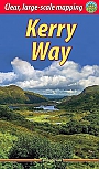
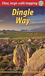
Topografische kaarten Zuid-West Ierland / Clare / Kerry / Dingle
Topografische Wandelkaart Ierland 71 Kerry (Tralee) Discovery Map Ireland
Wandelkaart & Fietskaart | Ordnance Survey (OS) Ireland
€ 18,99
Topografische Wandelkaart Ierland 78 Kerry Discovery Map Ireland
Wandelkaart & Fietskaart | Ordnance Survey (OS) Ireland
€ 18,99
Topografische Wandelkaart Ierland 78 Kerry (Killarney) Discovery Map Ireland weatherproof
Wandelkaart & Fietskaart | Ordnance Survey (OS) Ireland
€ 18,99
Topografische Wandelkaart Ierland 70 Kerry (Dingle) Discovery Map Ireland
Wandelkaart & Fietskaart | Ordnance Survey (OS) Ireland
€ 18,99