- Gratis verzending vanaf 30 euro
- Levert in Nederland, België etc.
- Meer dan 30.000 titels
- Vakkundige klantenservice
- Snelle levering
- Veilig en eenvoudig betalen

Direct contact?
Bel +31 (0)6 42428571
maandag t/m vrijdag
van 10 tot 17 uur
Wandelgids Walking the Wales coast path | Cicerone Guide
Llwybr Arfordir Cymru | 1400 km kustwandelpad
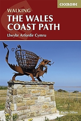
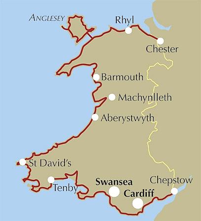
This guidebook explores the Welsh Coast Path which, at 1408km, is the longest trail in Britain, as it traces the coastline from Chester to Chepstow. This guide divides the Path into 9 geographical areas and 57 stages, ranging between 15 to 32km in length. The names of Anglesey, the Llyn Peninsula, Cardigan Bay, Pembrokeshire, and the Gower conjour ideas of spectacular scenery, world-famous geology, seabirds and wildlife, all of which can be explored with this guide. Â Opened in 2012, the entire coast is now accessible and waymarked; a true adventure along some of the best coastline in the British Isles. Full of variety; from cities and castles to sandy beaches, tiny harbours to the crash of waves against rugged cliffs, the Path offers new sights at every point. Never straying far from the sea, or climbing higher than 300m, the Path can nevertheless offer strenuous walking as well as gentle rambles. Â Alongside detailed route descriptions and maps for each stage, the guidebook provides a range of practical information, whether you plan to walk the Path in full, or as a series of day-walks. Travel information, advice on accommodation and planning, as well as details on the history, wildlife and geology of the coast ensure that this is an ideal companion to uncovering the Welsh coast on foot.
Engelstalig
EAN: 9781852847425
Uitgeverij: Cicerone Press
Verschijningsdatum: 2015
Meest recente editie
Engelstalig
360 pagina's

(Tijdelijk) niet leverbaar
- Vakkundige klantenservice
- Groot assortiment
- Gratis retourneren binnen 14 dagen
- Aangesloten bij WebwinkelKEUR
Meer producten die interessant kunnen zijn
Wegenkaarten Wales
Wegenkaart - Landkaart 503 Wales & The Midlands - Michelin Regional
Wales, the Midlands, South West England 503
€ 11,50

Reisgidsen Wales


Reisgids Engeland Noord & Wales Trotter
De no-nonsensegids voor een allesomvattende trip.
€ 18,99
Tijdelijk niet leverbaar


Topografische kaarten Wales

Topografische Wandelkaart 152 Newport / Pontypool - Explorer Map
Wandelkaart & Fietskaart | Ordnance Survey (OS) Groot-Brittannië
€ 18,99

Topografische Wandelkaart 189 Hereford & Ross-on-Wye - Explorer Map
Wandelkaart & Fietskaart | Ordnance Survey (OS) Groot-Brittannië
€ 18,99
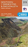
Topografische Wandelkaart 215 Newtown / Machynlleth Llanfair Caereinion - Explorer Map
Wandelkaart & Fietskaart | Ordnance Survey (OS) Groot-Brittannië
€ 18,99
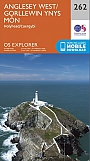
Topografische Wandelkaart 262 Anglesey West Holyhead - Explorer Map
Wandelkaart & Fietskaart | Ordnance Survey (OS) Groot-Brittannië
€ 18,99
Fietskaarten Wales
Wandelkaarten Wales
Wandelkaart Offa's Dyke Path National Trail Maps | Harvey Maps
Water- en scheurvaste wandelkaart
€ 25,99