- Gratis verzending vanaf 30 euro
- Levert in Nederland, België etc.
- Meer dan 30.000 titels
- Vakkundige klantenservice
- Snelle levering
- Veilig en eenvoudig betalen

Direct contact?
Bel +31 (0)6 42428571
maandag t/m vrijdag
van 10 tot 17 uur
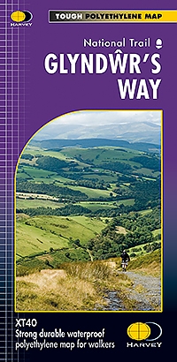
Wandelkaart Glyndwr's Way | Harvey Maps
Water- en scheurvaste wandelkaart
De Harvey Map is de wandelkaart voor het wandelen in de mooiste natuurgebieden in het Groot-Brittannië. Duidelijke topografische wandelkaarten met praktische informatie van de route zoals overnachtingsmogelijkheden, eetgelegenheden en bezienswaardigheden. Deze wandelkaart is scheur- en watervast. Met GPS compatible (UTM-Grid). Compact and light - the map itself weighs just 60gms - a third of the weight of a laminated map, and much less bulky. And you can fold or refold it time and again, or stuff it in your back pocket and it won't fall to pieces. Shows the entire route on one sheet.
Glyndwr's Way is a 217km (135 mile) long National Trail meandering through the open moorland, rolling farmland, woodland and forest of mid-Wales. The Way starts at Knighton and ends in Welshpool. It takes you to some of the finest landscape features in Wales including the tranquil Radnorshire Hills, the shores of the Clywedog Reservoir and heather clad Plynlimon. There are also spectacular views over Cadair Idris, Lake Vyrnwy, the Cambrian mountains and Y Golfa. The highest point on the route is Foel Fadian at 510m (1530ft).
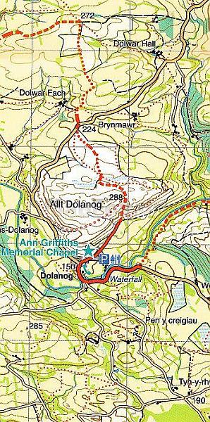
The map is arranged in panels so that at any one time you only have to have the part you need open. It is supplied folded in a plastic pocket. The map shows the detail you need for navigation. There is a full key and scale bar.
Schaal: 1:40.000
Engelstalig


Op voorraad
Levertijd 4 dagen (Nederland)
- Vakkundige klantenservice
- Groot assortiment
- Gratis retourneren binnen 14 dagen
- Aangesloten bij WebwinkelKEUR
€ 25,99
Meer producten die interessant kunnen zijn
Wandelgidsen Wales
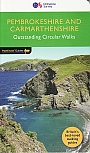
Wandelgids 34 Pembrokeshire and Carmarthenshire Pathfinder Guide
Pathfinder Guide 34 | Met Ordanance Survey kaarten
€ 17,99
Tijdelijk niet leverbaar
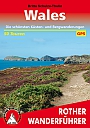
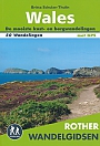
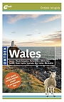
Wandelgids 269 Wales Rother Bergverlag | Rother Bergverlag
Die schonsten Küsten- und Bergwanderungen. 50 Touren. Mit GPS-Daten
€ 14,90
Wegenkaarten Wales
Wegenkaart - Landkaart 503 Wales & The Midlands - Michelin Regional
Wales, the Midlands, South West England 503
€ 11,50

Reisgidsen Wales

Reisgids Engeland Noord & Wales Trotter
De no-nonsensegids voor een allesomvattende trip.
€ 18,99
Tijdelijk niet leverbaar
Topografische kaarten Wales
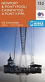
Topografische Wandelkaart 152 Newport / Pontypool - Explorer Map
Wandelkaart & Fietskaart | Ordnance Survey (OS) Groot-Brittannië
€ 18,99
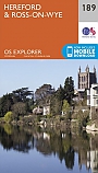
Topografische Wandelkaart 189 Hereford & Ross-on-Wye - Explorer Map
Wandelkaart & Fietskaart | Ordnance Survey (OS) Groot-Brittannië
€ 18,99
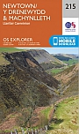
Topografische Wandelkaart 215 Newtown / Machynlleth Llanfair Caereinion - Explorer Map
Wandelkaart & Fietskaart | Ordnance Survey (OS) Groot-Brittannië
€ 18,99
Topografische Wandelkaart 262 Anglesey West Holyhead - Explorer Map
Wandelkaart & Fietskaart | Ordnance Survey (OS) Groot-Brittannië
€ 18,99