- Gratis verzending vanaf 30 euro
- Levert in Nederland, België etc.
- Meer dan 30.000 titels
- Vakkundige klantenservice
- Snelle levering
- Veilig en eenvoudig betalen

Direct contact?
Bel +31 (0)6 42428571
maandag t/m vrijdag
van 10 tot 17 uur
Wandelgids Moray Coast Trail with Dava Way and Moray Way | Rucksack Readers

Deze gids heeft een goede beschrijving van de lange afstands route met overzichtelijke kaarten doch zonder veel detail. De kracht van de Rucksack Readers is de uitgebreide achtergrondinformatie over de flora, fauna en geologische verschijnselen. Dit alles rijkelijk omkleed met kleurrijke foto's en praktische tips. The Moray Coast Trail consists of 44 miles/71 km of beach walking, on coastal paths, quiet roads and old railways. Its views are across coves, beaches and skerries to the vastness of the Moray Firth and the North Sea.
The Dava Way extends for 23 miles/38 km inland with vistas of mountain, moorland and farmland. We also explain the Moray Way, a route that combines most of the above two routes with part of the Speyside Way to form a 96-mile circuit of considerable beauty and historical interest. The new edition features large-scale mapping (scale 1:40,000), several significant route updates and many fresh photos. We expect to release it in early March, and if you subscribe your email address you will be the first to hear when it’s available. This book is in our pocket-friendly format, with perfect binding instead of concealed wiro. Unlike many paperbacks, it can be opened flat without splitting the spine. This guidebook contains all you need to plan and enjoy your holiday on and near the Moray Firth: Detailed description of the Moray Coast Trail from west to east, and Dava Way from south to north
Summaries of distance, terrain and refreshments for each section
Details of visitor attractions and side-trips
Richly illustrated habitats and wildlife
Planning information for travel by car, bus and plane
Contacts for accommodation
Maps showing both routes at 1:40,000
In full colour, with 80 photographs
Rucksack-friendly and on rainproof paper.
Engelstalig
EAN: 9781898481980
Uitgeverij: Rucksack Readers
Verschijningsdatum: 2021
Meest recente editie
Engelstalig


Op voorraad
Levertijd 3 dagen (Nederland)
- Vakkundige klantenservice
- Groot assortiment
- Gratis retourneren binnen 14 dagen
- Aangesloten bij WebwinkelKEUR
€ 18,99
Meer producten die interessant kunnen zijn
Topografische kaarten Noord-Schotland
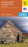
Topografische Wandelkaart OL57 van Groot-Brittannië (1:25.000) Cairn Gorm & Aviemore, Loch Morlich - Explorer Map OL 57
Wandelkaart | Ordnance Survey (OS) Groot-Brittannië
€ 18,99
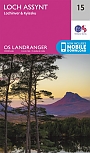
Topografische Wandelkaart 15 Loch Assynt Lochinver & Kylesku - Landranger Map
Wandelkaart & Fietskaart | Ordnance Survey (OS) Groot-Brittannië
€ 18,99
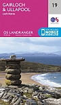
Topografische Wandelkaart 19 Gairloch / Ullapool (Loch Maree) - Landranger Map
Wandelkaart & Fietskaart | Ordnance Survey (OS) Groot-Brittannië
€ 18,99
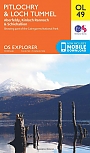
Topografische Wandelkaart OL49 van Groot-Brittannië (1:25.000) Pitlorchry & Loch Tummel / Aberfeldy - Explorer Map OL 49
Wandelkaart | Ordnance Survey (OS) Groot-Brittannië
€ 18,99
Wandelkaarten Noord-Schotland
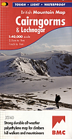
Wandelkaart Cairngorms and Lochnagar - Mountain Map | Harvey Maps
Water- en scheurvaste wandelkaart
€ 28,99
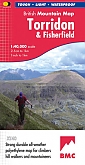
Wandelkaart Torridon & Fisherfield - Mountain Map | Harvey Maps
Water- en scheurvaste wandelkaart
€ 28,99