- Gratis verzending vanaf 30 euro
- Levert in Nederland, België etc.
- Meer dan 30.000 titels
- Vakkundige klantenservice
- Snelle levering
- Veilig en eenvoudig betalen

Direct contact?
Bel +31 (0)6 42428571
maandag t/m vrijdag
van 10 tot 17 uur
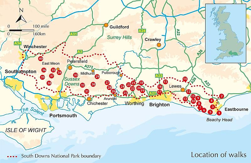
Wandelgids Walking in the South Downs National Park Cicerone Guidebooks
40 circular walks

Guidebook to 40 day walks in the South Downs National Park. The walks, which are designed to suit all abilities, are dotted all over the National Park and range from 4¾ miles (7.5km) to 11 miles (17.5km). Each walk is circular, and where possible begins and ends at a place accessible by public transport.
With some of the most iconic landscapes in southern England, including the white chalk cliffs of Beachy Head and the Seven Sisters, and such well-loved landmarks as Ditchling Beacon and atmospheric ancient monuments like the Cissbury Ring, walking in the park proves a delightful experience mile after mile.
Step-by-step route descriptions are accompanied by 1:50,000 OS mapping. Also included is information on the plants and wildlife of the Downs, as well as handy practical information on accommodation, car parking and public transport.
Engelstalig
EAN: 9781852848354
Auteur(s): Kev reynolds
Uitgeverij: Cicerone Press
Verschijningsdatum: 2016
Meest recente editie
Engelstalig
224 pagina's

(Tijdelijk) niet leverbaar
- Vakkundige klantenservice
- Groot assortiment
- Gratis retourneren binnen 14 dagen
- Aangesloten bij WebwinkelKEUR
Meer producten die interessant kunnen zijn
Wegenkaarten Zuid-Oost Engeland / Kent

Wegenkaart - Landkaart 504 Zuid-Oost Engeland Kent Sussex - Michelin Regional
South East England, the Midlands, East Anglia 504
€ 11,50
Topografische kaarten Zuid-Oost Engeland / Kent
Topografische Wandelkaart 124 Hastings / Bexhill - Explorer Map
Wandelkaart & Fietskaart | Ordnance Survey (OS) Groot-Brittannië
€ 18,99
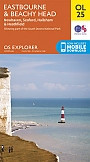
Topografische Wandelkaart OL25 van Groot-Brittannië (1:25.000) Eastbourne & Beachy Head Newhaven, Seaford Explorer Map OL 25
Wandelkaart | Ordnance Survey (OS) Groot-Brittannië
€ 18,99
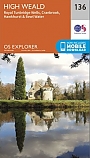
Topografische Wandelkaart 136 High Weald / Royal Tunbridge Wells - Explorer Map
Wandelkaart & Fietskaart | Ordnance Survey (OS) Groot-Brittannië
€ 18,99
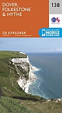
Topografische Wandelkaart 138 Dover / Folkstone / Hythe - Explorer Map
Wandelkaart & Fietskaart | Ordnance Survey (OS) Groot-Brittannië
€ 18,99
Reisgidsen Zuid-Oost Engeland / Kent

Fietskaarten Zuid-Oost Engeland / Kent

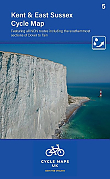
Fietskaart 5 Kent The High Weald and Kent Downs Cycle Maps UK | Cordee
Water- en scheurvaste fietskaart
Tijdelijk niet leverbaar