- Gratis verzending vanaf 30 euro
- Levert in Nederland, België etc.
- Meer dan 30.000 titels
- Vakkundige klantenservice
- Snelle levering
- Veilig en eenvoudig betalen

Direct contact?
Bel +31 (0)6 42428571
maandag t/m vrijdag
van 10 tot 17 uur
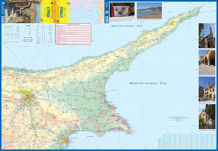
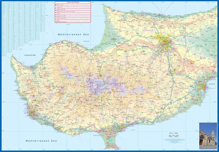
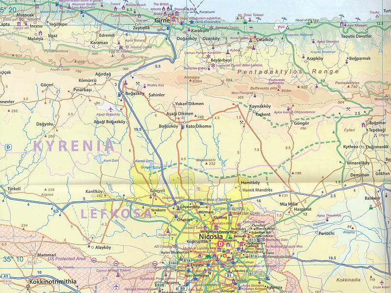
Wegenkaart - landkaart Cyprus | ITMB
Water- en scheurvaste wegenkaart
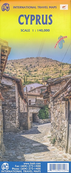
De ITMB kaarten kenmerken zich door een kleurrijke en volle cartografische weergave. Het zijn degelijke kaarten, zeker voor gebieden waarvoor kaarten lastig te krijgen zijn, met aanduidingen van onder andere nationale parken en natuurgebieden, vliegvelden, toeristische bezienswaardigheden en een goede aanduiding van het wegennet. Daarnaast bevatten enkele kaarten ook stadsplattegronden (hoofdsteden of belangrijke centra). Bevat voor sommige landen ook aanduidingen in de orginele taal.
Cyprus is a lovely Mediterranean island; a popular tourist destination for Europeans. It is also a very historic island, with roots going back to Phoenician times and probably before. Politically, the island is divided into Turkish-controlled Northern Cyprus and EU-member Cyprus, the southern two-thirds of the island. Most travel is to the southern portion, with numerous resort hotels and beaches lining the coast. This is also the most economically-developed part of the island, as the northern portion has not been recognized by anyone except Turkey, which still maintains a significant military presence in areas they control. It is possible for tourists to pass through the green zone in Nicosia from south to north and back safely and efficiently. The north portion is, in my opinion, more interesting simply because it is less travelled. When we were visiting the island to research it, we spent most of our time driving mountainous roads, discovering interesting villages (and occasionally, military outposts), but we never felt fearful or were harassed by anyone. To me, the most fascinating part of the island was the very contentious Famagusta city area right on the border that is now an abandoned city covering many blocks of high-rises. We were able to drive through quite a bit of it before being waved off by Turkish soldiers. Regardless of politics, the island is a dream resort for anyone. We have tried to be fair to both sides of this divided island; a wonderful place to explore or enjoy on a beach North or South! Legend Includes: Roads by classification, Rivers and Lakes, National Park, Airports, Points of Interests, Highways, Main Roads, Zoos, Fishing, and much more...
Schaal: 1:140.000
Engelstalig
EAN: 9781771291712
Uitgeverij: ITMB (International Tavel Maps & Books)
Meest recente editie
Engelstalig
Op voorraad
Vóór 17 uur besteld, morgen in huis (Nederland)
- Vakkundige klantenservice
- Groot assortiment
- Gratis retourneren binnen 14 dagen
- Aangesloten bij WebwinkelKEUR
€ 13,50
Meer producten die interessant kunnen zijn
Wandelgidsen Cyprus
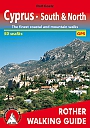
Wandelgids Cyprus South & North Rother Walking Guide | Rother Bergverlag
50 walks | The finest walks on the coast and in the mountains
€ 14,90