- Gratis verzending vanaf 30 euro
- Levert in Nederland, België etc.
- Meer dan 30.000 titels
- Vakkundige klantenservice
- Snelle levering
- Veilig en eenvoudig betalen

Direct contact?
Bel +31 (0)6 42428571
maandag t/m vrijdag
van 10 tot 17 uur
Wegenkaart Sint Eustatius / Statia (Dutch Caribbean) | Kasprowski Publisher
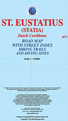
Gedetailleerde wegenkaart van dit deel van de Cariben. bezienwaardigheden, wandelpaden, duiksites zijn aangegeven. De kaart is voorzien van een straatnamen index. This first and only complete road and street map with a street index of the Dutch Caribbean island of Saint Eustatius (Statia), ( Scale 1 : 10 000 ) renders roads and streets with their names and locates hiking trails and diving sites.
The map is sold folded, measuring 4 7/8" x 8 7/8" ( 12.5 cm x 22.5 cm ), and is designed for easy opening and refolding. Its full unfolded format is 26 3/8" x 35" ( 67 cm x 89 cm ). Designed for travelers, this excellent map has unsurpassed coverage of the island, and its extensive information and depth of detail fit a broad range of interests. The map has hill shading, three levels of roads (footpaths, secondary roads, and main roads) and symbols representing a large number of physical features. It contains the following features Attractive full color layout; Rich topographic detail; Symbol key and scale; An airport (international), beaches, old forts, former plantation sites, sugar mill ruins, cemeteries, churches, a synagogue (ruins), cliffs, diving and snorkel sites, gas stations, geological formations, hiking trails, a hospital, a lighthouse, marine reserves, moorings, natural reserves, a parking area, a post office, protected zones, reefs, a university, an inactive volcano crater, and other points of interest; Depth curves, soundings in meters, longitude and latitude lines and other identifiers
Schaal: 1:10.000
EAN: 9791095793106
Uitgeverij: Kasprowski Publisher
Meest recente editie

Op voorraad
Overmorgen in huis (Nederland)
- Vakkundige klantenservice
- Groot assortiment
- Gratis retourneren binnen 14 dagen
- Aangesloten bij WebwinkelKEUR
€ 17,99