- Gratis verzending vanaf 30 euro
- Levert in Nederland, België etc.
- Meer dan 30.000 titels
- Vakkundige klantenservice
- Snelle levering
- Veilig en eenvoudig betalen

Direct contact?
Bel +31 (0)6 42428571
maandag t/m vrijdag
van 10 tot 17 uur
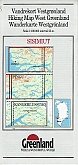
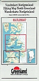
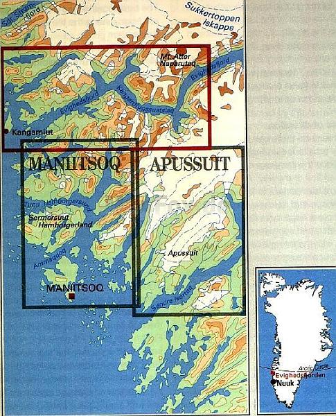
Wandelkaart Groenland 16 Evighedsfjorden Hiking Map Greenland | Harvey Maps
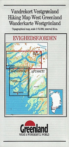
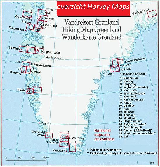
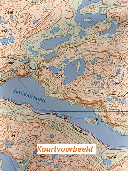
Evighedsfjorden Hiking Map No. 16 at 1: 75,000 part of a series covering the Coastal areas of Greenland at 1:100,000 or 1:75,000 of GPS compatible contoured topographic maps from Greenland Tourism, indicating both recommended hiking trails and snowmobile routes, plus camping places, youth hostels, etc. Contours lines are at 25m intervals and additional altitude colouring. The maps provide a very detailed picture of the terrain, showing topographic features such as rivers and streams with fords, sand or gravel shoreline, marshes, boulder fields, etc. Recommended hiking trail are marked, as well as snowmobile routes. The maps show local settlements and connecting roads and tracks. Symbols indicate locations of heliports, general stores, medical facilities, youth hostels or huts, camping terrain, viewpoints, etc. A grid gives UTM co-ordinates plus latitude in steps of 5' and longitude in 10'. The maps are printed on waterproof and tear-resistant paper. Map legend includes English. On the reverse selected titles have notes, in English, with advice on hiking in Greenland, as well as descriptions of the area, including plans of main settlements highlighting important buildings and institutions. Some maps are double-sided to provide a wider coverage.
Schaal: 1:75.000
Op voorraad
Levertijd 2 dagen (Nederland)
- Vakkundige klantenservice
- Groot assortiment
- Gratis retourneren binnen 14 dagen
- Aangesloten bij WebwinkelKEUR
€ 24,99
Verder in deze serie
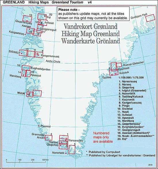
- Wandelkaart Groenland 1 Narsarsuaq Hiking Map Greenland Harvey Maps
- Wandelkaart Groenland 2 Narsaq Hiking Map Greenland | Harvey Maps
- Wandelkaart Groenland 3 Qaqortoq Hiking Map Greenland | Harvey Maps
- Wandelkaart Groenland 4 Ivittuut Hiking Map Greenland | Harvey Maps
- Wandelkaart Groenland 5 Tasermiut Fjord Nanortalik Hiking Map Greenland | Harvey Maps
- Wandelkaart Groenland 6 Tasiilaq - Kulusuk Hiking Map Greenland | Harvey Maps
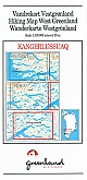
- Wandelkaart Groenland 8 Kangerlussuaq Hiking Map Greenland | Harvey Maps
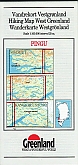
- Wandelkaart Groenland 9 Pingu Hiking Map Greenland | Harvey Maps
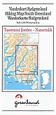
- Wandelkaart Groenland 10 Sisimiut Hiking Map Greenland | Harvey Maps
- Wandelkaart Groenland 11 Nuuk Hiking Map Greenland | Harvey Maps
- Wandelkaart Groenland 11a Nuuk Omgeving Nuuk Hiking Map Greenland | Harvey Maps
- Wandelkaart Groenland 12 Ilulissat Hiking Map Greenland | Harvey Maps
- Wandelkaart Groenland 12b Ilulissat Hiking Map Greenland | Harvey Maps
- Wandelkaart Groenland 13 Apussuit Hiking Map Greenland | Harvey Maps
- Wandelkaart Groenland 14 Maniitsoq Hiking Map Greenland | Harvey Maps
- Wandelkaart Groenland 15 Qeqertarsuaq - Disko Island Hiking Map Greenland | Harvey Maps
- Wandelkaart Groenland 17 Qasigianguit Hiking Map Greenland | Harvey Maps
- Wandelkaart Groenland 18 Aasiaat Hiking Map Greenland | Harvey Maps
- Wandelkaart Groenland 19 Nuuk Kapisillit Qooqqut & Austmannadalen Hiking Map Greenland | Harvey Maps
- Wandelkaart Groenland 20 Eqi - Alluttoq - Arveprinsen Ejland Greenland | Harvey Maps
- Wandelkaart Groenland 20c Eqi Greenland | Harvey Maps