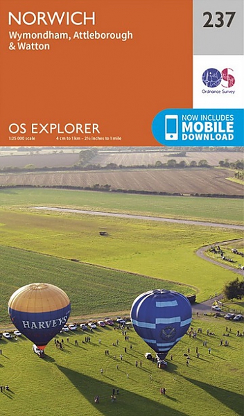
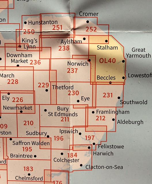
Topografische Wandelkaart 237 Norwich / Wymondham / Attleborough / Watton - Explorer Map
Wandelkaart & Fietskaart | Ordnance Survey (OS) Groot-Brittannië
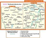
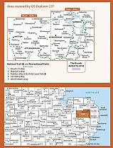
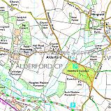
Deze gedetailleerde en informatieve topografische kaart (stafkaart, schaal 1:25.000) van Groot-Brittannië bevat alle topografische elementen van het landschap en geeft daarmee een nauwkeurig beeld van het terrein. Daarnaast heeft Ordnance Survey (OS) ook toeristische informatie op de meeste kaart verwerkt, zoals de aanduiding voor campings en ingetekende wandelpaden . Deze kaart is ideaal voor wandelaars of fietsers, maar ook voor de scouting of sportverenigingen die activiteiten in Groot-Brittannië gaan uitvoeren. De kaarten zijn voorzien van een GPS aanduiding en een duidelijke legenda. The capital of Norfolk, Norwich is a great base to explore the county. There are plenty of options for activities on OS Explorer map 237 for all the family, while for walking you can explore Boudica's Way and Tas Valley Way. Also included on this map are Wymondham, Attleborough, Watton and the western endge of the Norfolk Broads.
Schaal: 1:25.000
EAN: 9780319244302
Uitgeverij: Ordnance Survey (UK)
Serie: Explorer Map East Anglia
Meest recente editie
Op voorraad
Overmorgen in huis (Nederland)
- Vakkundige klantenservice
- Groot assortiment
- Gratis retourneren binnen 14 dagen
- Aangesloten bij WebwinkelKEUR
€ 18,99
Verder in deze serie
Meer producten die interessant kunnen zijn
Wegenkaart - Landkaart 5 Midlands & Central England - AA Road Map Britain
€ 8,99
Tijdelijk niet leverbaar
Topografische Wandelkaart 139 Birmingham / Wolverhampton - Landranger Map
Wandelkaart & Fietskaart | Ordnance Survey (OS) Groot-Brittannië
€ 18,99
Topografische Wandelkaart 150 Worcester / The Malverns Evesham & Tewkesbury - Landranger Map
Wandelkaart & Fietskaart | Ordnance Survey (OS) Groot-Brittannië
€ 18,99
Wandelgids 25 Thames Valley and Chilterns Pathfinder Guide
Pathfinder Guide 25 | Met Ordanance Survey kaarten
€ 17,99
Wandelgids 252 Engeland Mitte | Rother Bergverlag
Im herzen von den Cotswols zum Peak District 52 wandelingen
€ 14,90
Tijdelijk niet leverbaar


