- Gratis verzending vanaf 30 euro
- Levert in Nederland, België etc.
- Meer dan 30.000 titels
- Vakkundige klantenservice
- Snelle levering
- Veilig en eenvoudig betalen

Direct contact?
Bel +31 (0)6 42428571
maandag t/m vrijdag
van 10 tot 17 uur
Wegenkaart Dominica | Kasprowski Publisher
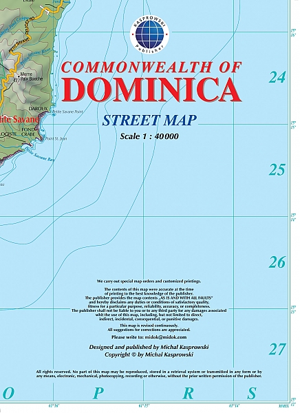
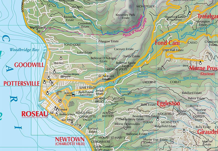
Gedetailleerde wegenkaart van dit deel van de Cariben. bezienwaardigheden, wandelpaden, duiksites zijn aangegeven. De kaart is voorzien van een straatnamen index. This first and only complete road map of Dominica ( Scale : 1 : 40000 ) displays the island's entire network of roads and streets with their names, includes hiking trails, pinpoints a large number of diving sites and several shipwreck sites around the island, and provides insets and street indexes for the major urban areas: Roseau capital, Mero-St. Joseph, Wallhouse-Loubière, and Lagon-Portsmouth-Glanvillia.
The map is sold folded, measuring 6" x 8" ( 15 cm x 20 cm ), and is designed for easy opening and refolding. Its full unfolded format is 29 1/4" x 48 1/2" ( 74 cm x 123 cm ). It contains the following features Attractive full color layout; Rich topographic detail; Symbol key and scales; Street indexes and enlarged insets for capital and major towns; Main and secondary roads, diving sites with index, shipwreck sites, hiking trails, beaches, parish boundaries, airports, lighthouse, reefs, waterfalls, sulfur springs, natural reserves, hospital, cliffs, post office, university, police station, churches, geological formations, waterfalls, ports, and other points of interest; Depth curves, soundings in meters, longitude and latitude lines, and other identifiers.
Schaal: 1:40.000
EAN: 9791095793076
Uitgeverij: Kasprowski Publisher
Meest recente editie
Op voorraad
Levertijd 1 week (Nederland) (wegens vakantie)
- Vakkundige klantenservice
- Groot assortiment
- Gratis retourneren binnen 14 dagen
- Aangesloten bij WebwinkelKEUR
€ 17,99