- Gratis verzending vanaf 30 euro
- Levert in Nederland, België etc.
- Meer dan 30.000 titels
- Vakkundige klantenservice
- Snelle levering
- Veilig en eenvoudig betalen

Direct contact?
Bel +31 (0)6 42428571
maandag t/m vrijdag
van 10 tot 17 uur
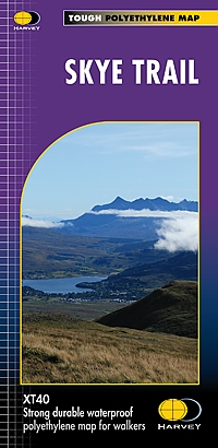
Wandelkaart Skye Trail | Harvey Maps
Water- en scheurvaste wandelkaart
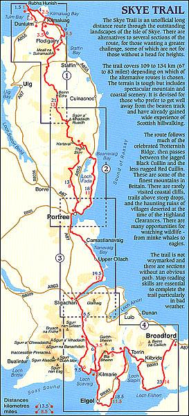
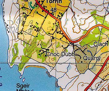
De Harvey Map is de wandelkaart voor het wandelen in de mooiste natuurgebieden in het Groot-Brittannië. Duidelijke topografische wandelkaarten met praktische informatie van de route zoals overnachtingsmogelijkheden, eetgelegenheden en bezienswaardigheden. Deze wandelkaart is scheur- en watervast. Met GPS compatible (UTM-Grid). The Skye Trail is a challenging unofficial route through the island which is specifically aimed at experienced hillwalkers. The route follows much of the amazing Trotternish Ridge and passes beneath the peaks and pinnacles of the Cuillin, which are considered to be the finest mountains in Britain. There are also remarkable coastal cliffs, steep trails, high drops and haunting ruins of deserted villages destroyed in the highland clearances. You have various choices of different routes through tough terrain or easier walking with spectacular mountain views and coastal scenery. It is not waymarked making this map an essential piece of your equipment.
Schaal: 1:40.000
Engelstalig
Op voorraad
Vóór 17 uur besteld, morgen in huis (Nederland)
- Vakkundige klantenservice
- Groot assortiment
- Gratis retourneren binnen 14 dagen
- Aangesloten bij WebwinkelKEUR
€ 25,99
Meer producten die interessant kunnen zijn
Wandelgidsen Hebriden / Skye
Wandelgids Walking The Skye Trail | Cicerone Guidebook
A challenging backpacking route from Rubha Hunish to Broadford
€ 19,95
Wandelgids 03 Isle of Skye Pathfinder Guide
Pathfinder Guide 03 | Met Ordanance Survey kaarten
€ 17,99
Wandelgids Walking on the Isle of Arran Cicerone Guidebooks
The best low level walks and challenging mountain routes, including the Arran Coastal Way
€ 23,95
Wandelgids Walking on Harris and Lewis Cicerone Guidebooks
30 day walks on the Isles of Harris and Lewis
€ 21,99
Topografische kaarten Hebriden / Skye
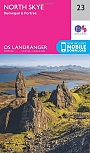
Topografische Wandelkaart 23 North Skye Dunvegan & Portree - Landranger Map
Wandelkaart & Fietskaart | Ordnance Survey (OS) Groot-Brittannië
€ 18,99
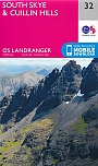
Topografische Wandelkaart 32 South Skye / Cuillin Hills - Landranger Map
Wandelkaart & Fietskaart | Ordnance Survey (OS) Groot-Brittannië
€ 18,99
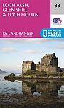
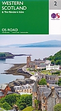
Topografische Wandelkaart 33 Loch Alsh / Glen Shiel / Loch Hourn - Landranger Map
Wandelkaart & Fietskaart | Ordnance Survey (OS) Groot-Brittannië
€ 18,99
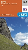
Topografische Wandelkaart 408 Skye / Trotternish / The Storr Uig - Explorer Map
Wandelkaart & Fietskaart | Ordnance Survey (OS) Groot-Brittannië
€ 18,99
Reisgidsen Hebriden / Skye
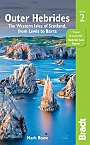
Reisgids Outer Hebrides | Bradt Travel Guide
The Western Isles of Scotland from Lewis to Barra
€ 20,99
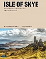
Reisgids Isle of Skye & de Noordelijke eilanden van de Hebriden | Edicola
€ 24,50
Tijdelijk niet leverbaar
Wegenkaarten Hebriden / Skye
Alpinisme Hebriden / Skye
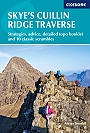
Klimgids Skye's Cuillin Ridge Traverse | Cicerone Guidebooks
Strategies, advice, detailed topo booklet and 10 classic scrambles
€ 25,99
Fietsgidsen Hebriden / Skye